Taken in 2023 by Kaitlin Adams.
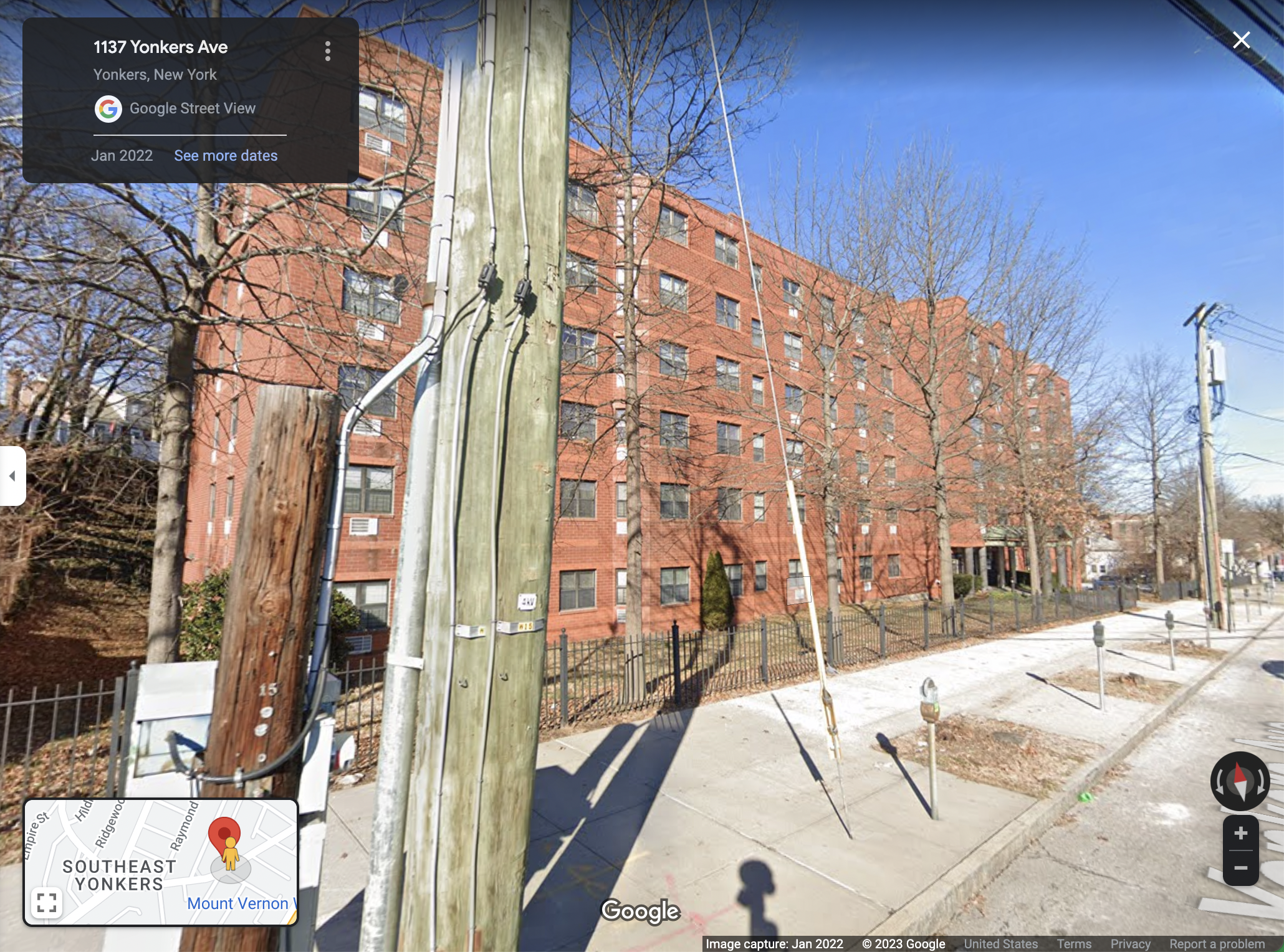
2022 Google Streetview photo of the apartment building that stands where the Trade Winds Motor Court used to
2022 Google Streetview photo of the lot that the Brown Derby was located on
2022 Google Streetview photo of the gas station that occupies the lot the Peacock once did
2019 Google Streetview photo of the restuarant that now stands where Patricia Murphy's Candelight Restaurant's Yonkers location was
2022 Google Streetview photo of the area that Major's Lunch Room once stood
2022 Google Streetview photo of the parking lot that occupies the space that Lucy's Grille used to be located